
NATTrack
App Store ID 1142148840 · Fredrik Karlsson
Not currently in Zing's Top 100
About
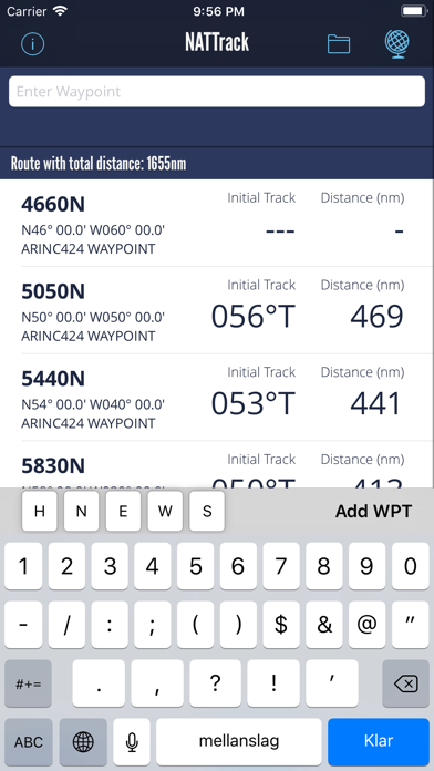
Calculates initial great circle track and distance between given waypoints. Easily add waypoints using common FMC input formats such as 5040N H5040 N50W040 N5030.0W04000.0.
Tracks and distances are calculated for the WGS-84 ellipsoid using the Vicenty Formula.
Displays either true or magnetic track using MAGVAR2015 variation tables.
Worldwide airport database allows easy calculation of track and distance between airports.
Store your own waypoints. Will just take a couple of long nightflights to add all oceanic boundary waypoints to your NATTrack database.
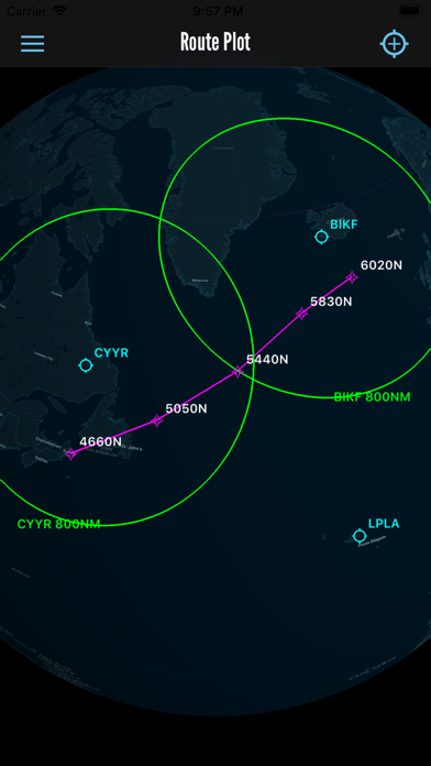
Waypoints will be plotted on a globe chart where also airports and range circles can be depicted.
Screenshots
This app isn't currently charting in Zing's tracked Top 100 — showing a live snapshot from the App Store instead. Browse current charts →